


To enhance your visit to the National Forest why not take a look at the unique array of attractions on offer.
Browse the National Forest Map and explore this destination and things nearby.
Added to basket


Location
Overseal, Swadlincote, Derbyshire

OS Grid Ref
SK2915514580

what3words
found.explained.arranger

Site Owner
The National Forest Company

Path Type
Grassy paths

Accessibility
Unsurfaced paths which can be muddy in wet weather
Browse the National Forest Map and explore this destination and things nearby.
Summary
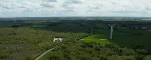
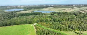
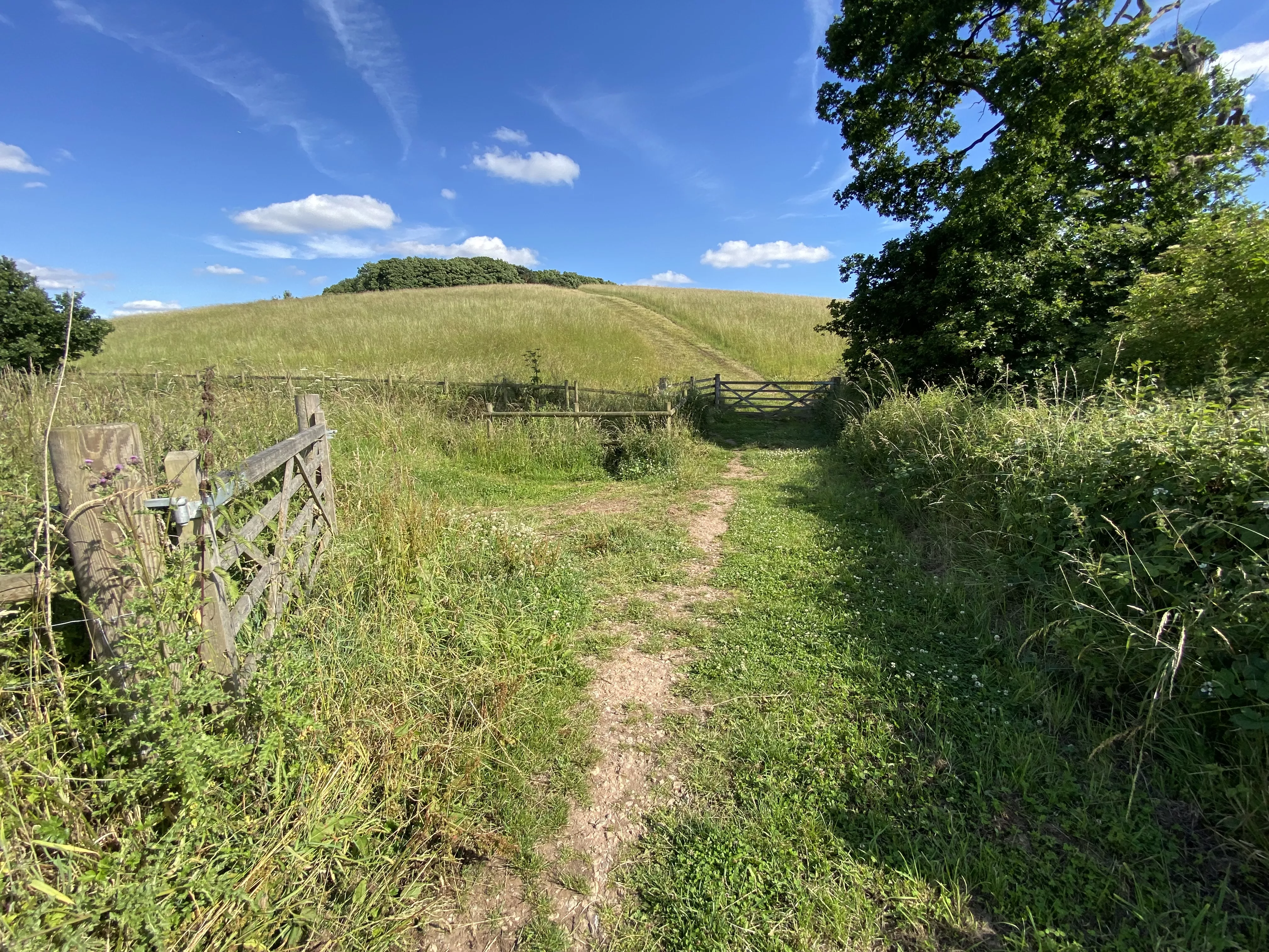
Cadborough Hill is an excellent vantage point for the wider National Forest that rolls beyond the site’s boundaries. Those who step out on this short but steep detour will gain a bird’s eye view of the emerging Forest landscape; with Moira and the Forest woodlands to the north, sweeping around towards Rosliston and Coton in the Elms to the west, and Grangewood in the middle distance. It could be considered a ‘typical’ National Forest scene of mixed broadleaf and conifer woodland, mostly under 30 years old, sitting alongside towns and farmland. At the foot of the hill is what is known locally as ‘Dead Dane’s Bottom’, purportedly the site of an ancient battle between Anglo-Saxons and Danes.
The site is very popular with walkers, particularly local dog walkers, but also long-distance walkers of the National Forest Way which crosses the site.
Facilities
Advance visit information

To enhance your visit to the National Forest why not take a look at the unique array of attractions on offer.

Why not explore the Forest on one of our circular trails? Each showcasing the variety of landscapes across the National Forest.