


There's always somewhere new to visit in the National Forest, with an array of unique attractions to explore and discover.
Browse the National Forest Map and explore this destination and things nearby.
Added to basket
Route details

Long
6 miles (9.6km)

Time
Allow 2.5 hours

Map
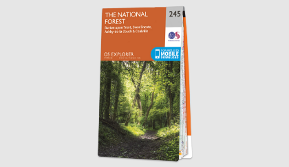
OS Explorer 245 The National Forest

what3words
mock.templates.painted

Os Grid Ref
SK523098

Start
Lullington Road, Coton-in-the-Elms, DE12 8EP

Path type
Unsurfaced paths, tracks, and tarmacked sections.

Accessibility
Unsurfaced paths which can be muddy in wet weather
Downloads

Coton circular walk
pdf 5.27 Mb
Browse the National Forest Map and explore this destination and things nearby.
Summary
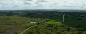
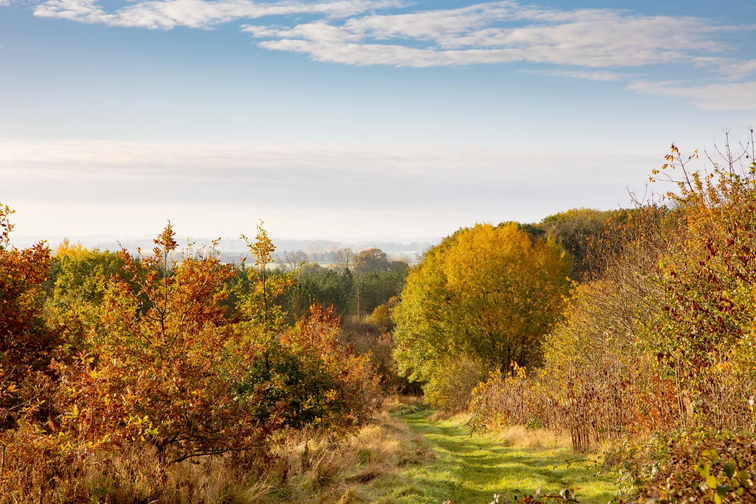
This gentle 6-mile walk links six young woodlands in the attractive rolling landscape of the Mease Lowlands.
Along the way, you will witness the distinguishing features and rich history of each woodland, from the remanence of a historical lane at Coton Wood to the remains of a former mineral railway, signs of a medieval ridge and furrow at Top Wood, to the Noon Column in the open glade at Grangewood. If you visit on a sunny day you will witness the rays of sun at true noon each day.
Walk highlights
Coton Wood was planted on former farmland by the Woodland Trust in 1994. The main species you will notice here, are oak, ash, field maple, hawthorn, cherry and other native trees and shrubs, though the most significant feature of the site is the old hedgerows which pre-date the planting of the existing wood. These include the “procession way” which is thought to be the remnant of an historical lane, used as far back as the Black Death for moving plague victims to the nearest church burial ground. Before the Church at Coton was built, the dead from the village were carried to Lullington for burial where they passed under a curve of tree boughs known as the ‘Devil’s Arches’, also known as The Coffin Route.
Grangewood is a 100 acre broad-leaved and conifer woodland, with footpaths defined by mowed trails – a popular place for both horse riders and fisherman.
The woodland is well established and provides a good habitat for a variety of wildlife. Natural regeneration from the adjacent ancient wood and The Ashes ensures the extension of these two valuable woodlands into the new woodland. The woodland is linked by footpaths and bridleways by the neighbouring Top Tree and Longclose woods.
Top Wood was originally made up of a mix of agricultural uses, numerous ponds and some small copses. Look closely and you may find the remains of a former mineral railway line and signs of medieval ridge and furrow. The woodland acts as an important buffer for the surrounding ancient woodland. The planted trees are helping to facilitate the gradual movement of ancient woodland species.
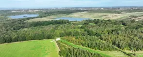
Behive Woodland lakes lie in the most southerly part of rural Derbyshire and are the perfect way to witness a very special corner of the National Forest. With over 66 acres of woodland and three lakes, the site is a haven for wildlife. An osier bed has been created in a wetland area and ditches and scrapes provide habitat for dragonflies. Since the first plantings in 1995, the site has developed very good wildlife interest on what was arable farmland.
Facilities
Where to eat

There's always somewhere new to visit in the National Forest, with an array of unique attractions to explore and discover.

Help us to maintain our trails for others to enjoy, by reporting any issues you come across.